

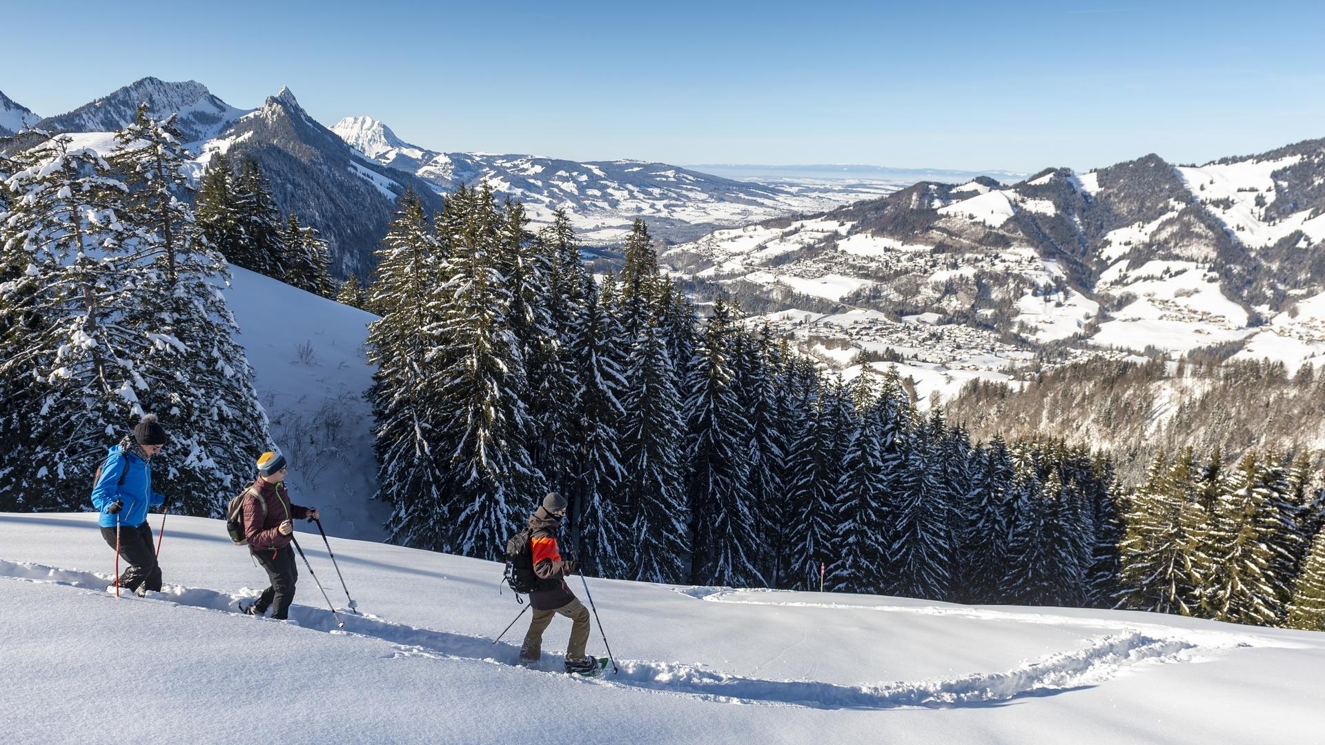
Starting at the midway station, the snowshoe trail “Parcours de l’Intermédiaire – No. 3” offers a route in the heart of the mountains through forests, rivers and clearings.
SwitzerlandMobility: route SS 270
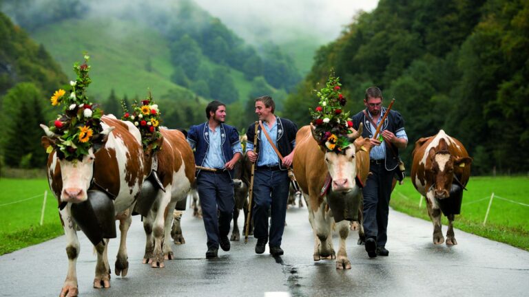
Charmey: midway cable car station
Starting at the midway cable car station in Charmey, this is a gentle route without any particular difficulties. From the cable car station, take the route that crosses the forest and head down to the Les Pâquiers chalet. This offers a magnificent view over the village of Charmey and the valley. Climb back up towards the La Chéta chalet. Just after you leave the forest, turn left and head towards the Chalet des Vieilles Ciernes.
From the path, you can admire the Dents Vertes, which overlook the Charmey ski area. Then walk to the final chalet on the route, the Gros Ganet. Cross the ski run and follow the route. The path is more undulating in this final section. Finally, walk alongside the ski run to return to the cable car station.
This is an ideal path for people who want to walk in snowshoes without necessarily taking the high mountain paths or getting too far from civilisation. The route offers a magnificent view over the Dents Vertes massif.
Find in the "Download files" a complete description of the snowshoe trail to download, print and take with you during your hike.
Information
La Gruyère Tourisme
Place des Alpes 26
1630 Bulle
This unprepared itinerary is marked. You take this trail at your own risk.
Properties of the itinerarie
Difficulty: Moderately difficult
Duration: 02:30
Distance: 4 km
Ascent/Descent: +228m / -228m
Altitude min./max.: 1109m / 1332m