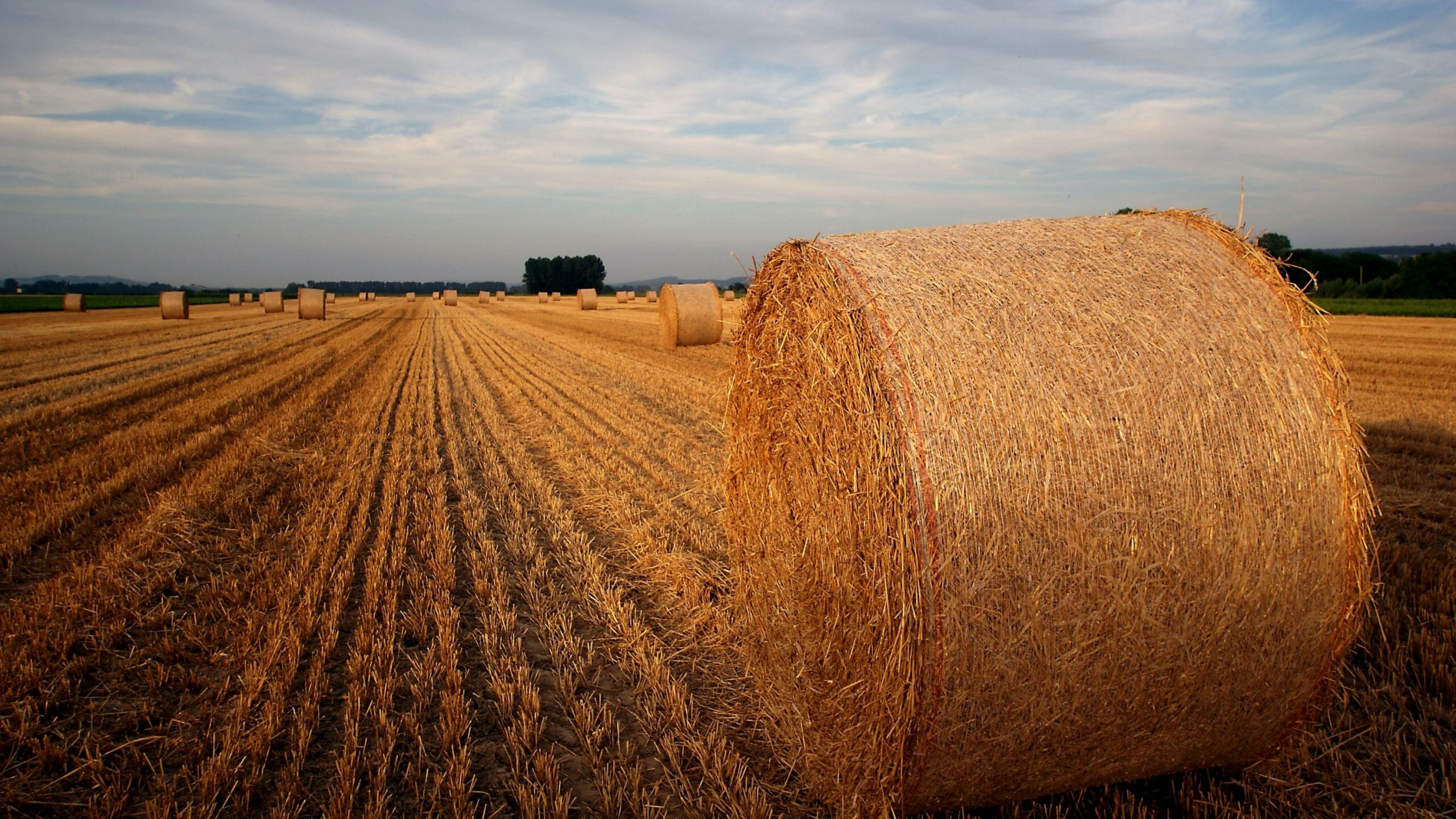
Broye canyons
Henniez springs and ancient baths
Setting off from Granges-Marnand railway station, we follow the road to Marnand. We pass under the railway and continue our walk along the stream. The waymarked path leads to the village and crosses it on our left. A slight ascent takes us to the heights above Marnand. We take the flattest path on our right. At the next waymarked crossing, we head for Villarzel.
Once there, we keep following the waymarked path until we leave the village. We then cross the cantonal road and carry on as far as the ancient Henniez Baths. Once there, we go down the steps on our left before crossing the bridge and heading for Seigneux. On reaching the centre of the village, we head towards Lucens/Curtilles. We cross another bridge. At the next crossing of paths, we leave the waymarked path, turning right to reach Treize Cantons via a woodland track. We then arrive at the cantonal road again, following it as far as the Henniez bottling plant. Passing in front of the premises, we head for the railway tracks, crossing them to reach the banks of the Broye. We follow the river by bearing right as far as Granges-Marnand.
Information
Estavayer-le-Lac Région, Place des Bastians 1, Estavayer-le-Lac
Place des Bastians 1
1470 Estavayer-le-Lac


Properties of the itinerarie
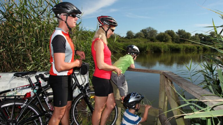
Type of activity: Family
Difficulty: Very easy
Duration: 03:32
Distance: 9 km
Loop itinerary
Ascent/Descent: +209m / -209m
Altitude min./max.: 467m / 624m