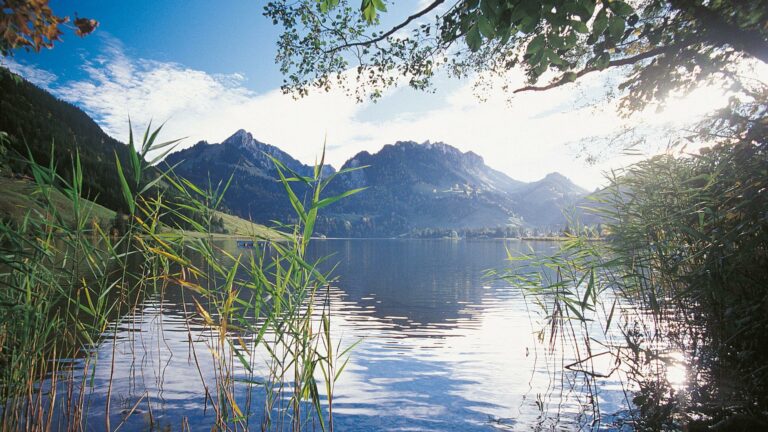
Deep blue Lake Schwarzsee lies in a rock basin surrounded by rugged cliffs. Cross the language border and continue past the idyllically situated Carthusian monastery at Valsainte and on to the Pays de Gruyère, known worldwide for its cheese.
Nestling in a rugged, pre-Alpine landscape of striking rocks and gentle hills lies the Schwarzsee lake. The stage starts with a leisurely ride along the north shore, followed by a steep climb to the Balisa Pass.
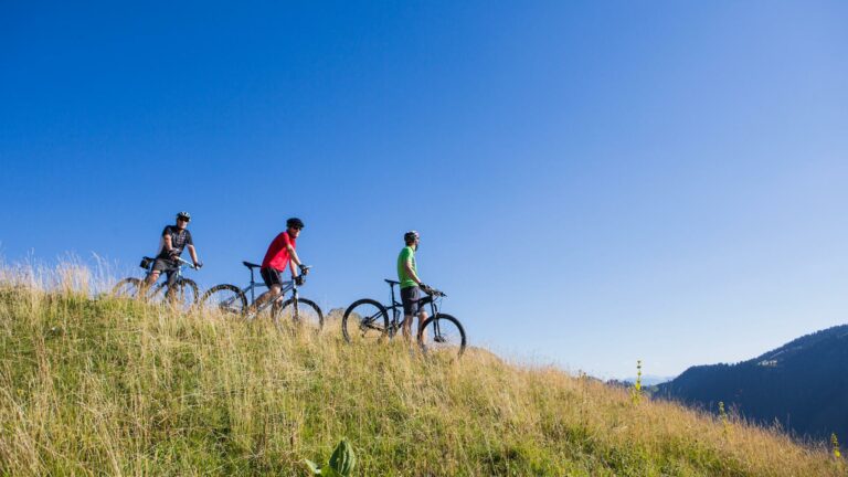
Across flowery meadows and past several alpine farms, a mountain road leads us over the highest point of the stage. The multilingual names in this area tell us that we are now directly on the border between German-speaking and French-speaking Switzerland. The further we descend, the clearer this is.
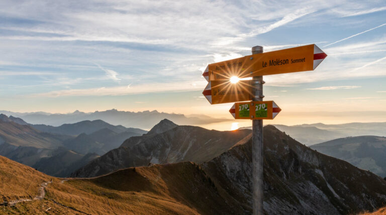
With the solitary peak of the Moléson and the Fribourg pre-Alps in sight, we pass La Valsainte, Switzerland’s only existing Carthusian monastery, before finally reaching our day’s destination in Charmey. In this charming pre-Alpine village, French is in fact the main language. It is always fascinating how quickly one enters another cultural region in Switzerland.

Properties of the itinerarie
Type of activity: Sports
Difficulty: Moderately difficult
Distance: 15 km
Ascent/Descent: +1196m / -1325m
Altitude min./max.: 869m / 1638m