Region of Fribourg

The tourist region of Fribourg offers you unforgettable experiences... Lake, city or mountains, discover a real land of values!


Fribourg Meeting offers you the possibility to comfortably organize your future seminars or congresses.

Choose a region

La Gruyère
Fribourg
Estavayer-le-Lac
Region
Region
Murtensee
Schwarzsee -
Senseland
Romont Région
Les Paccots
- La Veveyse

What are you looking for?

Choose a region

Welcome to the website of Fribourg Region and its tourist regions. Please select on the map the region you wish to discover and browse through its offers. We wish you a lot of fun!

swiss map
La Gruyere
Fribourg
Estavayer-le-Lac
Region
Région Lac
de Morat
Schwarzsee-
Senseland
Romont
Les Paccots
You are in the region
Search

Hike on the Mont Vully

Properties of the itinerarie

Difficulty: Easy

Duration: 03:15

Distance: 11 km

Ascent/Descent: +327m / -327m

Altitude min./max.: 429m / 625m

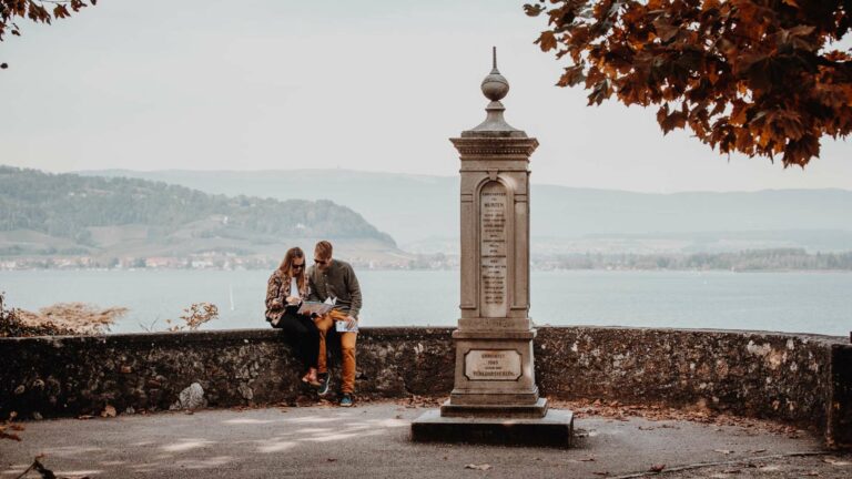
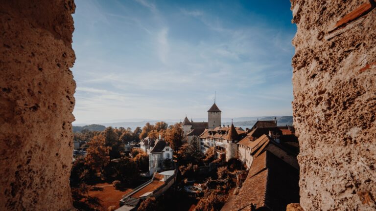
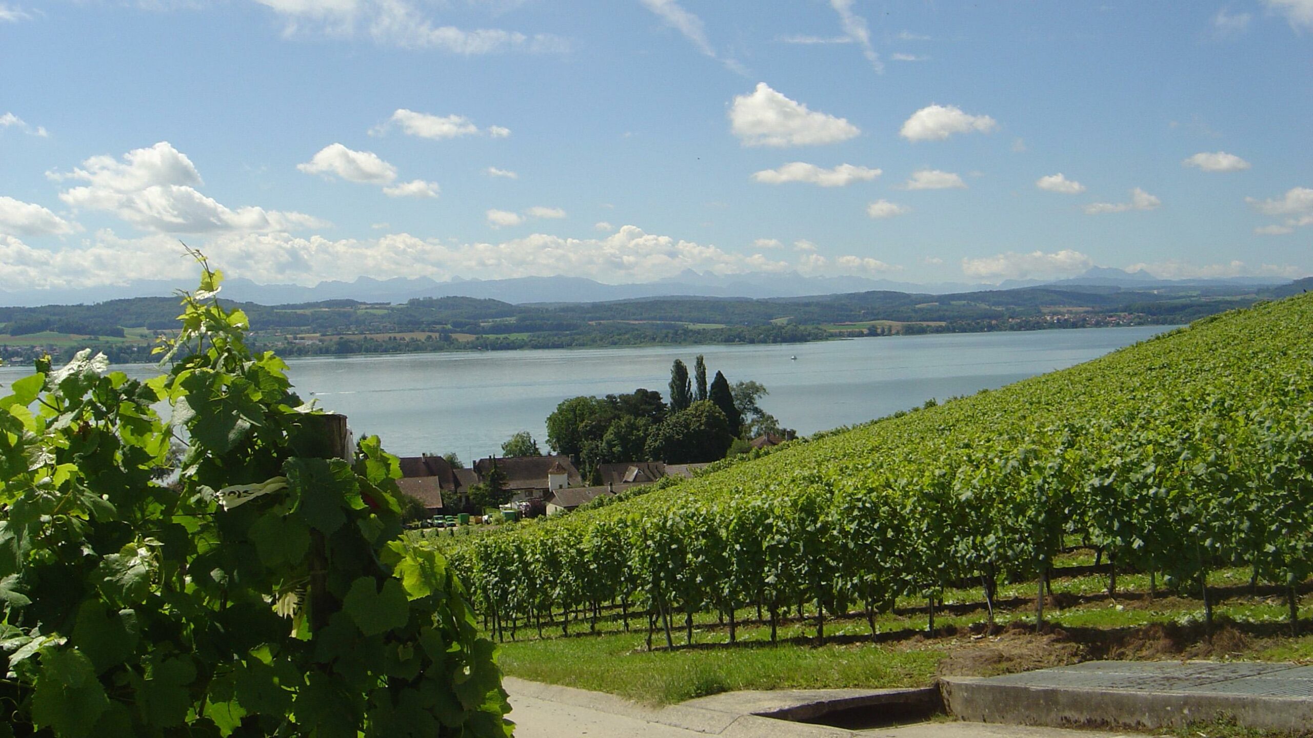
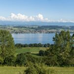
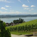
This hike combines three thematic trails and offers an exceptional landscape of the Alps, the Three Lakes and the Jura in all places.

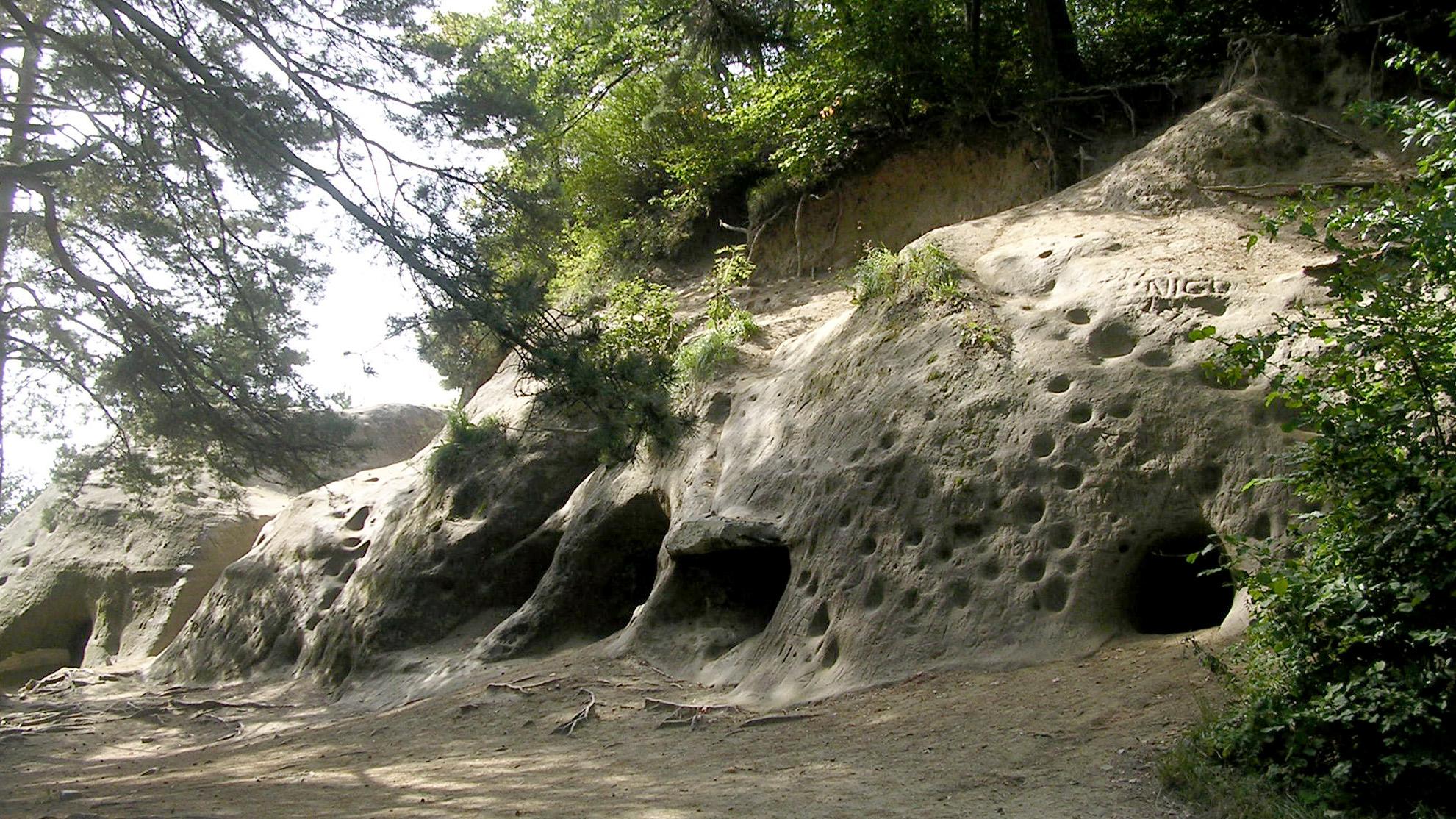
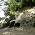
It can be done from Sugiez station as well as from the boat stations of Praz or Môtier. It takes the vineyard path then, in Praz, the botanical path which on a relatively steep slope leads to the summit of Mont Vully where a breathtaking view awaits the visitor. On the rampart of the Helvetes, it joins the historical path that leads to the erratic Pierre Agassiz block and then, successively, to the Réduit du Vully, a military construction of 1914-1918, to reach the famous caves (Roches Grises - La Lamberta). From there, the vineyard path and the riverside path lead to the starting point.

Tip: Indulge yourself and after this magnificent hike enjoy a piece of Vully tart sweetened or salted in a restaurant or bought in bakeries.

Accessible by public transport: yes
Accessible by car: yes

Information

Vully Tourisme, Route du Lac 114, 1787, Môtier
Route du Lac 114
1787 Môtier

Properties of the itinerarie

Difficulty: Easy

Duration: 03:15

Distance: 11 km

Ascent/Descent: +327m / -327m

Altitude min./max.: 429m / 625m

Download files

External links

Report an error

More information

We use cookies to provide you with a better experience.

By browsing this site, you accept the Data Protection Policy, as well as the use of cookies to collect statistics for the purpose of continually improving the website.

Close